Nature · A UNESCO Global Geopark
Nature ofLạng Sơn
From cloud to cave: a journey down through the rock.
The landscape, top to bottom
Read the land from summit to cave
Most of Lạng Sơn is built from limestone laid down on the floor of a warm, shallow sea around 300 million years ago. Lifted into mountains, cracked by faults and slowly dissolved by rain, that rock has become a landscape of peaks, valleys, waterfalls and caves. Follow it down, one layer at a time.
01 Summit · 1,541 m
Above the clouds
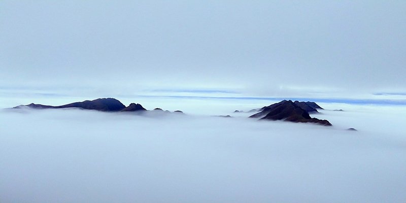
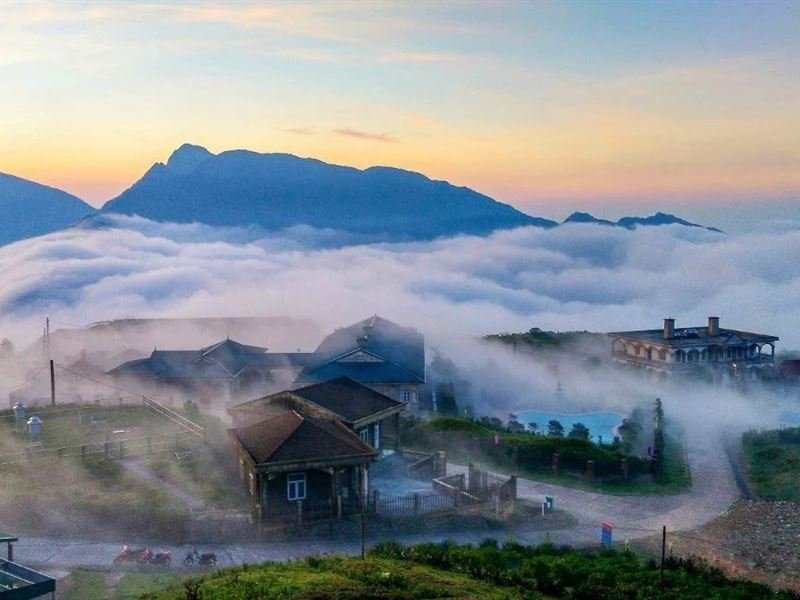
The journey starts on the roof of the province. The highest peak of Mẫu Sơn reaches 1,541 metres, high enough to live in a different climate from the valleys below. On still winter mornings the lowlands disappear under a flat sea of cloud and the ridges seem to float on it; in the coldest years frost, and occasionally snow, settles on the summit.
02 Limestone peaks
The karst towers
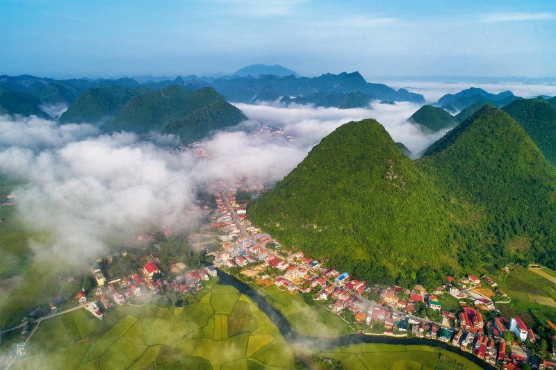
Below the high ridges lies limestone country. The rock began as shells and sediment on an ancient sea floor, hardened into the limestone geologists call the Bắc Sơn Formation, then was pushed up and folded by movements of the Earth's crust. Faults broke the folded rock into blocks, and every crack became a path for water.
Over millions of years rain dissolved the rock between the cracks, leaving steep, isolated towers standing over flat valley floors, like the green bowl of Bắc Sơn.
03 The slopes
Falling water
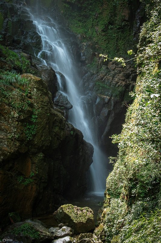
Water shapes everything here, but much of it is hidden. On limestone, streams rarely stay on the surface for long: rain soaks into cracks and swallow holes, runs through the rock, and bursts out again lower down as springs and waterfalls.
Where streams do stay above ground, often over harder, less soluble rock, they cut narrow green gorges and tumble down the valley sides before vanishing into the rock again.
04 Into the rock
The cave mouth
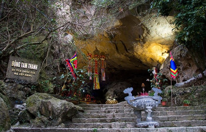
Follow the water inward and the mountain opens. Cave entrances appear where underground passages are cut open by erosion or collapse, often at the level where water once flowed out of the rock.
In Lạng Sơn many of these doorways became sacred places. At Tam Thanh, in the middle of the city, stone steps climb to a cave that has sheltered a Buddhist pagoda for more than two centuries.
05 Beneath the surface
Chambers of stone
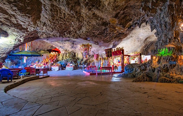
Inside, the passages open into chambers. Where the rock is weakest, ceilings give way over time and narrow tunnels merge into halls big enough to hold shrines, altars and whole festival crowds. The air stays cool and steady all year, and in places a natural skylight lets a shaft of daylight into the dark.
06 Deep underground
The dripping dark
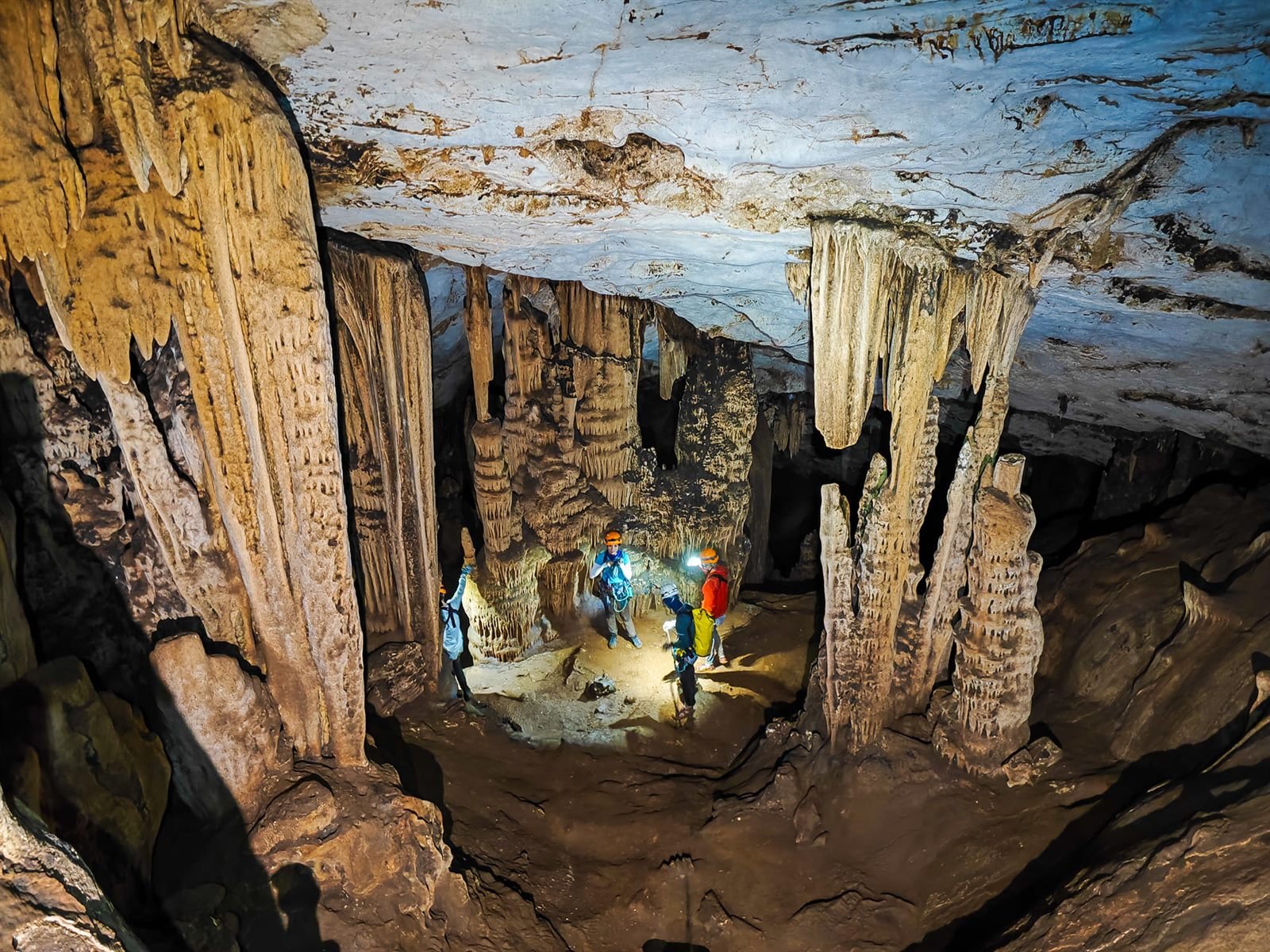
Deepest of all is a slow, dripping world. Water seeping through the ceiling carries dissolved limestone; as each drop meets the cave air it gives up carbon dioxide and leaves behind a trace of calcite.
Drop by drop, stalactites grow down from the roof and stalagmites rise to meet them, eventually joining as columns. Beneath them, underground rivers are still at work, carving the caves of the future.
Protected landscape
A UNESCO Global Geopark
In 2025 UNESCO formally recognised the Lạng Sơn Geopark as a UNESCO Global Geopark, the fourth in Vietnam. Its rocks record around 500 million years of Earth's history, from ancient sea floors to the caves that are still forming today. Tread lightly, stay on marked paths, and leave the formations untouched: they took millennia to grow.